Schedule a free consultation Let’s Go
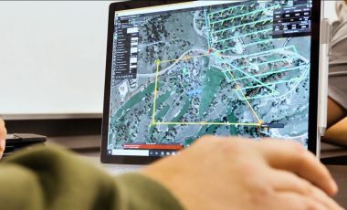
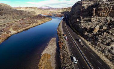
Surveying Roadways at Scale
Road design and construction depends on having accurate information about the land, existing structures, and rights of way. Most planners and engineers accomplish this goal with aerial imaging and traditional survey, incorporating data into CAD programs. A labor shortage in land surveying has created a backlog of work for state… read more >
Detecting Abandoned Wellheads
There are potentially tens of thousands of buried wellheads from legacy oil and gas operations across the country. In many cases the locations of the infrastructure were known on paper and have long since been forgotten. As development is occurring, these wellheads are being inadvertently found by earthmoving equipment. These… read more >
Monitoring Uranium Storage Facilities
The US Department of Energy was looking for ways to improve their management of legacy uranium sites. The objective was to create a program that would allow the structures on the sites to be modeled in detail. The models needed to be spatially accurate so future models could be compared,… read more >
Earthen Dam Inspection
The Natural Resource Conservation Service is responsible for monitoring tens of thousands of earthen dams in the United States. Inspecting these structures for safety and environmental impact is typically a difficult and time-consuming task for engineers in the field. NRCS asked our partners at Cherokee Federal to develop a process… read more >
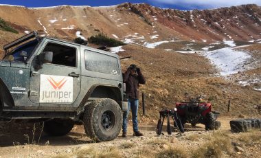
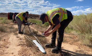
Mineral Exploration
A mining exploration company approached Juniper Unmanned to determine if there were remote sensing technologies that could detect buried ore bodies, specifically copper porphyry deposits. Their objective was to reduce the level of effort required to find and quantify the deposit. The company’s areas of exploration are high in the… read more >
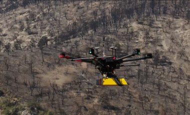
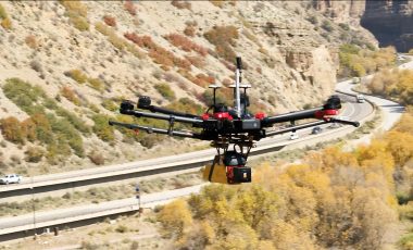
Wildfire Debris Flow Modeling
The Grizzly Creek Wildfire caused substantial damage to the forest, destabilizing the soil and leading to massive amounts of erosion. The Colorado Department of Transportation and managers of the Colorado River Watershed were concerned about infrastructure that would likely be impacted by future erosion events. Debris flows were predicted to… read more >
Rockfall Hazard Analysis
Falling rock causes serious damage to roadways and can injure or kill motorists. State departments of transportation are responsible for mitigating these risks by removing or stabilizing rocks and slopes. The client wanted to design a program to generate highly accurate 3-dimensional models to monitor the movement of rock over… read more >
Bridge Scour
Fast moving water can carry off sediment around bridge substructure, exposing the footings or piles. When the streambed is washed away, bridge support can be compromised, putting the bridge at risk. Scour is a leading cause of bridge failure. Departments of transportation need to monitor these structures closely, especially during… read more >
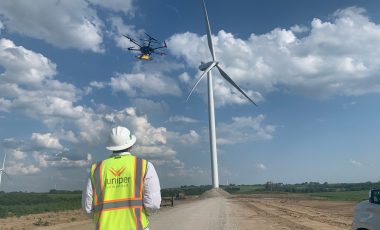
Wind Farm Construction Support
Large scale construction projects require tremendous coordination. Contractors and their subs need to have up-to-date information about the project site and the work of others on the site. Juniper Unmanned was asked to develop a set of unique worksite intelligence products to help the client manage their earthworks and coordinate… read more >