Our Work

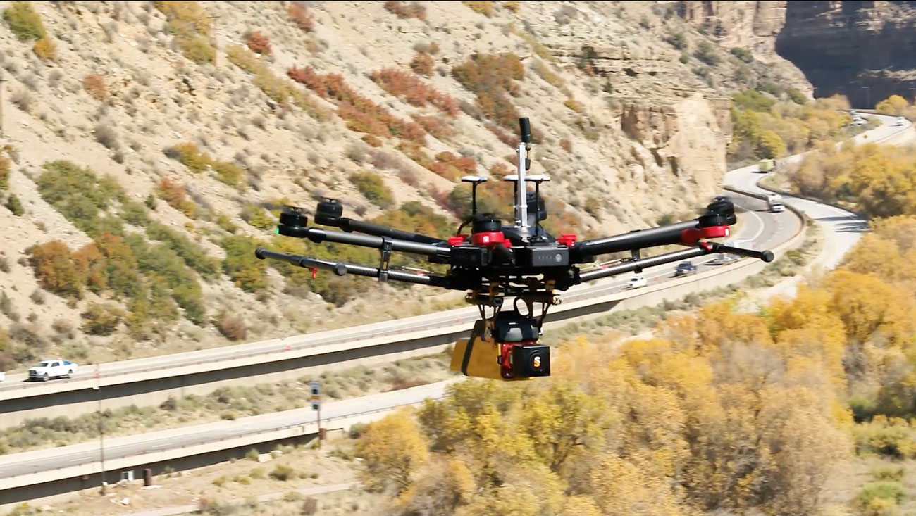
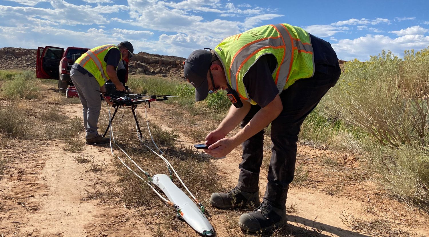
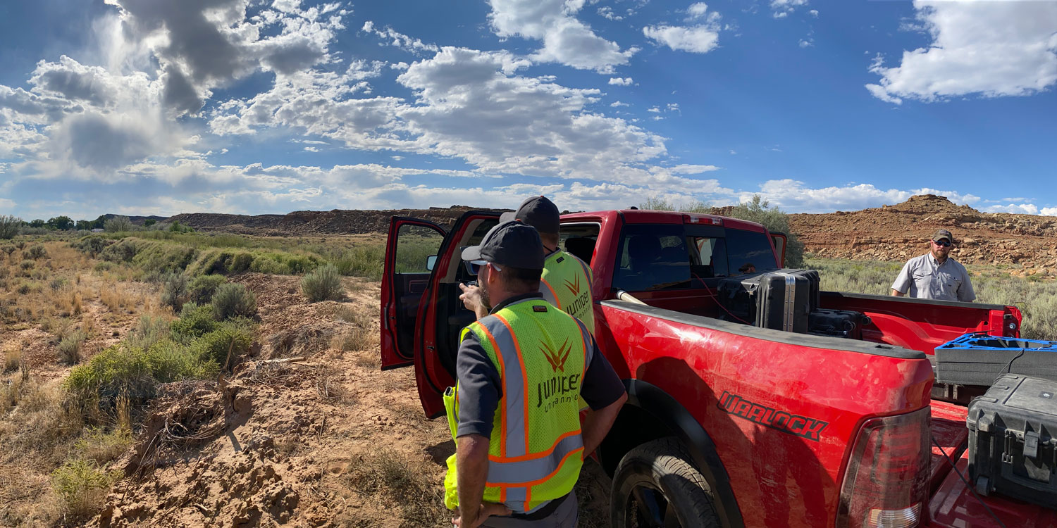
A Specialist with Critical Infrastructure

The job of the asset manager is extremely challenging. You start by assimilating tens of thousands of points of information. You then have to determine what information is most important and allocate resources, constrained by the budget). Everything depends on it. Using outdated techniques isn’t getting the job done. Juniper Unmanned has helped hundreds of people just like you breakthrough to a better way.

A Broad Range of Outputs

Our remote sensing and analytics solutions produce a broad range of outputs for clients. From data endpoints with methane concentrations over well pads, to high resolution surface models for monitoring earthwork takeoffs. We help clients build better workflows for their businesses.

Remote Sensing

Remotely sensed data comes in a lot of forms. Choosing the right sensor and platform will have a major impact on the quality of your outcome and the price you pay for it. Juniper has expertise with data collected from satellites, manned aircraft, drones, and on the ground. We will help you acquire the data that allows you to accomplish your goals within budget.

  • Imagery
  • LiDAR
  • Thermal
  • Bathymetric LiDAR
  • Multispectral
  • Magnetometry
  • Resistivity
  • Hyperspectral

Read More

Data Products

Products made from remotely sensed data can be directly integrated into your workflows. Use contour maps and stake plans to vastly reduce the time consuming process of construction surveying. Use magnetic intensity maps and ground penetrating radar to understand what is buried on your site. Submit proof of reclamation to managing agencies with digital models and habit maps.  And much more

  • Construction Stake Plans
  • Contour Maps
  • Digital Models
  • Earthwork Takeoffs
  • Habitat Maps
  • Land Surveys
  • Machine Control Files
  • Magnetic Intensity Maps
  • Planimetrics
  • Transportation alpha/numeric coding

Read More

Analytics

Analyzing remotely sensed data can result in remarkable findings. Use the proximity of vegetation together with the species biomass to assess fire risk. Use slope and weather conditions to predict where rockfall is most likely to occur. Use 3D models of a roadway to determine where sight distance is most likely to cause accidents. And much more.

  • Asset Inventories
  • Condition Assessment
  • Environmental Assessment
  • Fire Hazard Analysis
  • Geohazard Analysis
  • Structural Failure Risk Assessment
  • Site Planning
  • Site Monitoring

Read More

Schedule a free consultation Let’s Go

Consultation

Preferred Contact
This field is for validation purposes and should be left unchanged.