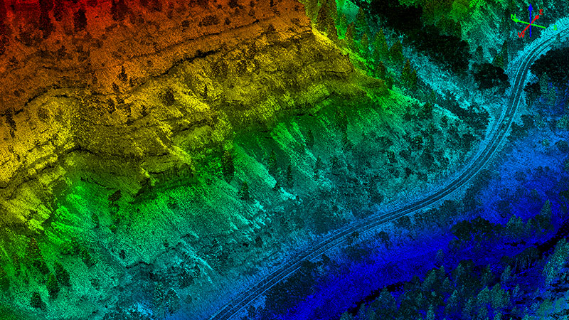
Engineering-grade transportation data
Typically, transportation engineering data, such as roadway geometric features, dimensions and profiles, are collected using measurement tape, a total station and a 3D scanner. Today, drones allow for fast, safe and accurate engineering data collection with the added benefit of 2D and 3D visualization. Juniper Unmanned has the years of experience required to perform transportation engineering projects at all scales accurately and safely. We specialize in creating a variety of engineering-grade transportation data:
- Classified Point Cloud
- Colorized 3D Point Cloud
- Digital Terrain Models
- Contours (6”, 1’, 2’)
- Ortho Imagery
- Coded Planimetrics (e.g. TMOSS)
