Making Value From Your Data
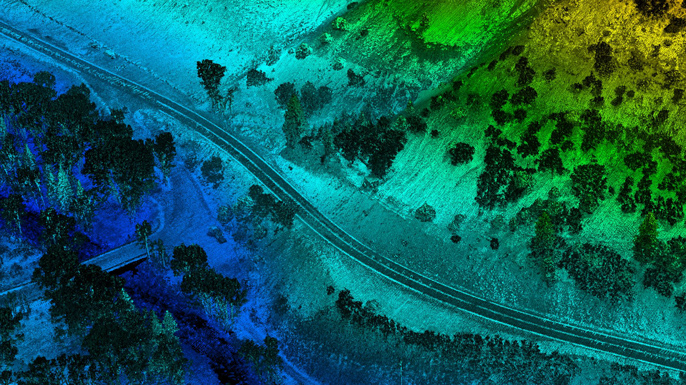
Juniper Unmanned processes data with its expert in-house data processing team. The first round of processing takes raw data from the field and digitizes it. The data is then further processed into derivative data products like:
- Ortho Photos
- Digital Terrain Models
- Contour Maps
- Magnetic Intensity Maps
- Bathymetric Models
- Cut and Fill Calculations
- Machine Control Files
- Land Survey
- Staking Plans
Juniper Unmanned has established a vast collection of raw data and many clients frequently request data products from a data set that the company already has in its collection.
Clients hire Juniper Unmanned because the company generates the highest quality data products. Contact us and let’s discuss your specific needs.
