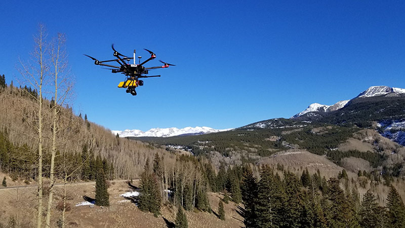
providing you with actionable data
Juniper Unmanned’s solutions engineers work with you to develop the optimal solution to your asset management challenges. Then, our team of experts in remote sensing will acquire the right types of data for the application, whether from satellites, manned aircraft, drones, or on the ground. Accurate and actionable data are the standard. We leverage cutting edge technology and industry-leading methodologies to ensure that your results reflect the highest level of accuracy and deliver the most value possible.
From complex urban centers to remote, environmentally sensitive locations, from roads and bridges to earthen dams, from power plants to stadiums, Juniper Unmanned is your innovation partner, helping you produce results that are faster, better quality, and less expensive than other options.
