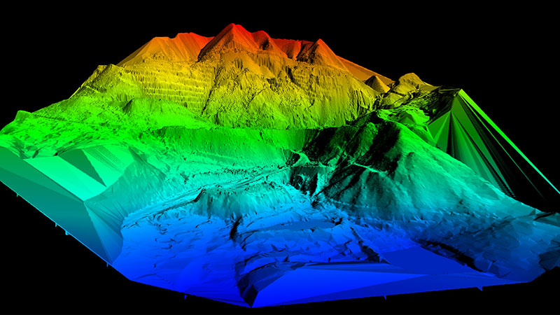
Any natural resource professional will tell you that accurate, up-to-date maps are indispensable for their day-to-day work. But mapping in remote, hard to access areas, with challenges of terrain and vegetation make traditional surveying methodologies impractical and expensive. Drones provide a way to “get out of the woods” and “see” the earth from a different perspective. By using a variety of sensors: optical cameras, LiDAR, magnetometers, bathymeters, infrared, thermal, etc., drones can take unique looks at terrain and features which are otherwise hard to map. Juniper Unmanned specializes in the resource mapping projects other’s find hard to do – from bayou swamps to above tree line tundra. Even without ground control, far from the nearest conventional survey monument, highly accurate maps can be compiled quickly and inexpensively using drones to produce products like:
- Bare earth surface models
- Vegetation profiles
- Land use/land cover
- Change detection
- Site identification
