reducing overall costs
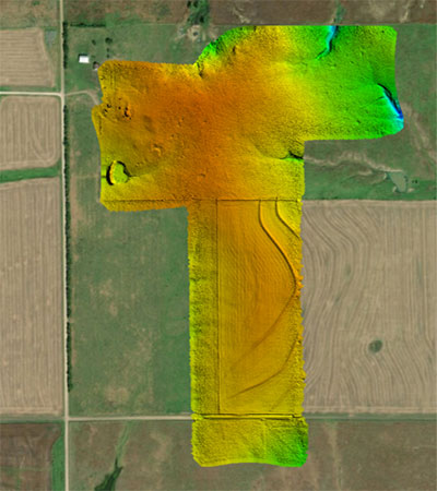
Whether you are a land developer, construction engineer, or full-service A&E firm, drones are decreasing project times, reducing overall costs and providing detailed, timely and accurate survey results that equal or exceed traditional methods. Quality information saves time and money in the long run; regular map updates keep projects on track and allow for all stakeholders to collaborate in a 3D environment during all development phases. Industrial drones that are best-suited for land development applications require detailed technical knowledge to operate safely and efficiently. Juniper Unmanned has demonstrated a commitment to safety and to the creation of high-quality products for land developers:
- Pre-Construction Documentation (Vegetation Survey, Topos, Contours)
- Site Preparation (Earthwork, Takeoff, As-Built, Utilities Compliance)
- Site Monitoring (Weekly Map Updates, Safety Audits, Updated Site Plans)
- Construction Planning (Slab Pour Areas, Laydown Tracking, Crane Pick Plan)
